“It’s really like trying to assemble a very large jigsaw puzzle of the ocean,” says Shackell. Just as a map aids us in finding our way overland, marine geospatial data aids scientists and researchers as they navigate any number of the world’s vast seas. This peculiar kind of data tells us important things about the ocean and everything that lives in it.
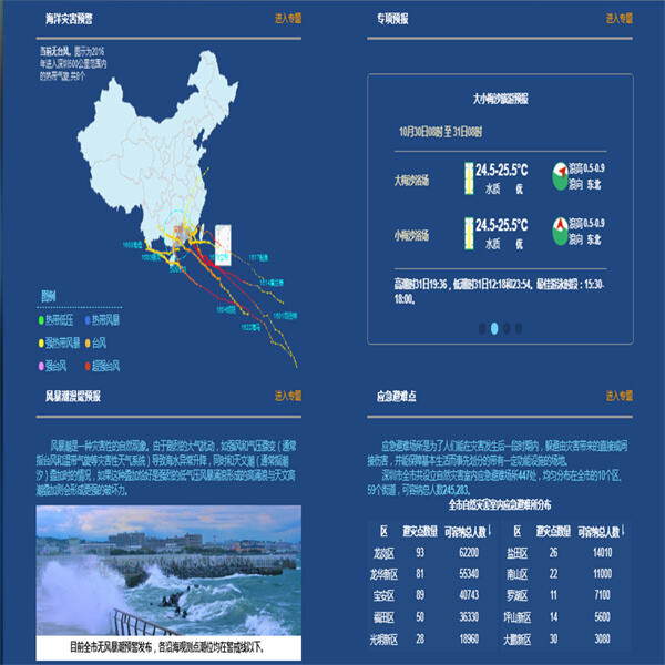
The critical value of marine spatial information cannot be overemphasized. It allows us to map the movement of ocean currents, monitor shifts in sea level and even predict where marine animals could migrate. This information helps scientists learn about how the ocean functions and how what we do on land can impact it. Examining marine data can help safeguard our valuable marine ecosystems for generations to come.
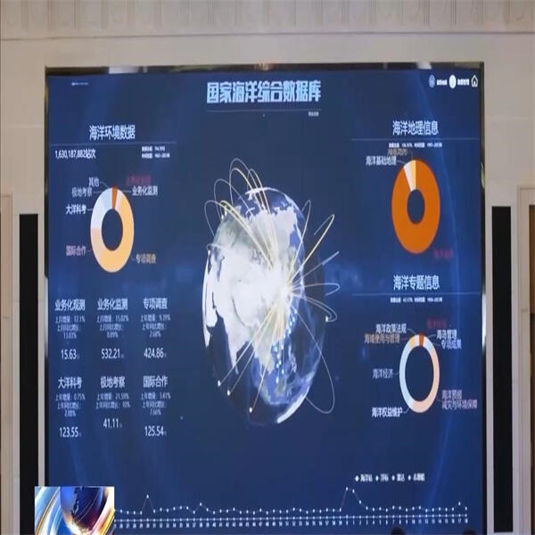
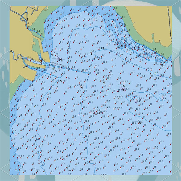
Marine geospatial data is employed in various applications. This data can be used by scientists to make detailed maps of the ocean floor — which in turn can help us locate sunken ships or hidden treasure. It also allows us to plan paths for ships that help them steer clear of dangerous underwater obstacles. Another application of Seaward marine buoy data is in fishing, to locate the best places to catch fish, without depleting the population.
It’s like being a sea sleuth: Unlocking the secrets of the sea with marine geospatial data. This Seaward marine data analytics can be used to help scientists discover new underwater volcanoes, find deep-sea vents that are home to hundreds of species, and even locate lost civilizations beneath the waves. With every new piece of information we can add to our portrait of the ocean’s secrets.
The marine spatial datasets are vital for conserving marine biodiversity. By using that data, we can recognize places that should be preserved especially well, because they are coral reefs, or they are the area where whales have their young. It also allows us to monitor pollution and illegal fishing activity, so we can take steps to stop it. With the application of Seaward marine geospatial data, we can guarantee the ocean is a healthy and progressive ecosystem for all living beings.
Seaward Technology has a global service network with branches in Canada, mainland China, and Hong Kong, providing localized support to meet the needs of our international clients. We understand the challenges of working in diverse environments and offer timely delivery, expert technical assistance, and local support. Our products offer superior performance at competitive prices, providing outstanding value. Additionally, we offer unique technologies that are not available from other suppliers, ensuring you receive exclusive solutions for your marine projects.
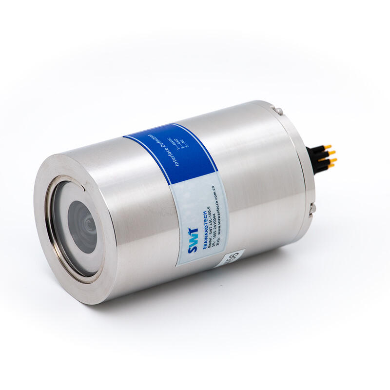
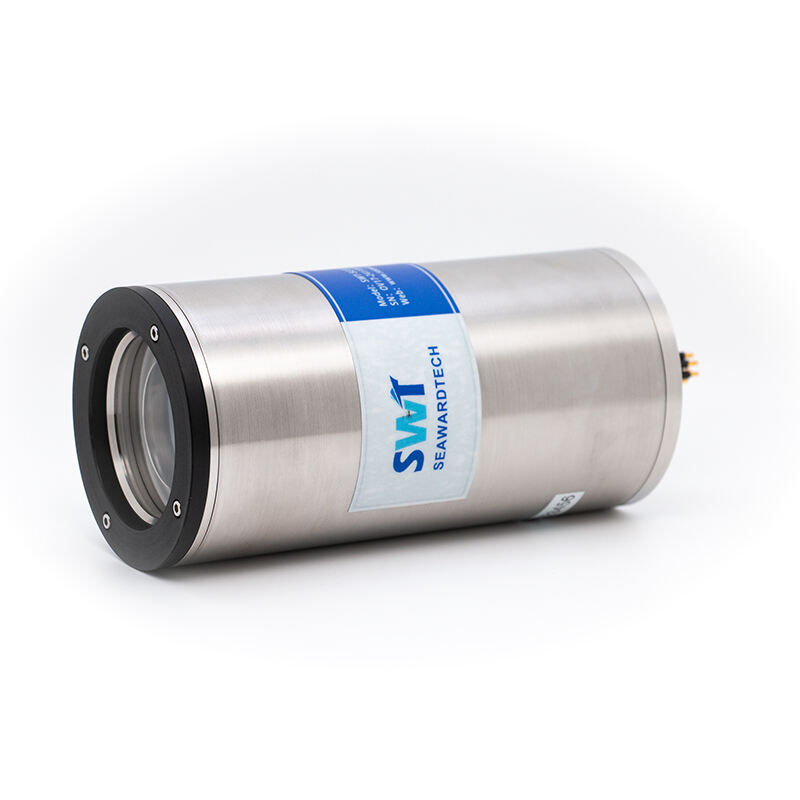
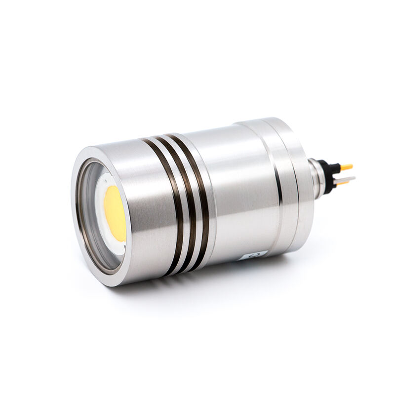
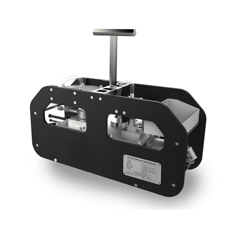
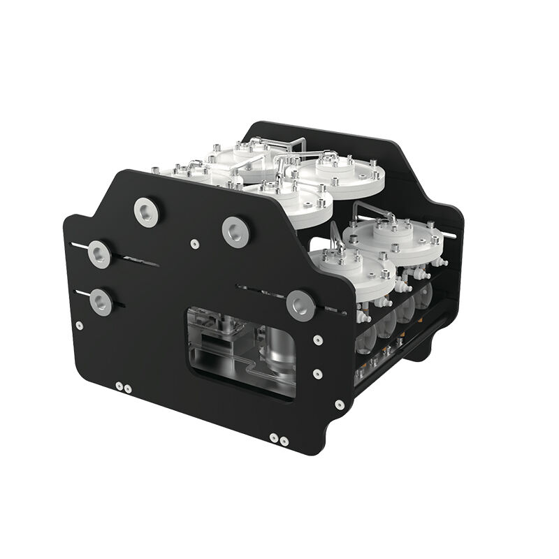
Seaward Technology is known for its high-precision, reliable products, including deep-sea pressure sensors, underwater robots, and sonar systems. Our equipment is ISO 9001 certified and rigorously tested to ensure stable performance in extreme deep-sea environments, such as high pressure and low temperatures. We offer tailored solutions, adjusting equipment parameters to meet specific project needs. By choosing Seaward, you partner with a company committed to providing high-performance, customized solutions for your marine exploration projects.
Seaward Technology excels in delivering customized solutions to meet the specific requirements of diverse marine exploration projects. Whether it’s adjusting equipment parameters for specialized tasks or offering bespoke configurations, our team ensures optimal performance. Our products are rigorously tested in extreme conditions, ensuring reliability in deep-sea environments. With Seaward, you get precisely tailored solutions that perform under the most demanding conditions, ensuring success in your specialized marine ventures.
Seaward Technology invests 15% of its annual revenue into research and development, advancing marine survey technology. In collaboration with leading global research institutions, we develop next-generation equipment, such as intelligent underwater robot tools and optical communication devices. Our R&D team regularly publishes technical white papers on emerging trends and innovations. By staying at the cutting edge, we ensure our customers receive solutions that keep them ahead in the rapidly evolving marine exploration industry.