Application of high-precision technology in mapping the seafloor
We are mapping the ocean floor with incredible new vision from Seabed. This technology is making it possible for scientists to examine every crack and crevice of the ocean floor, and learn more about its mysteries.
Reveal the Secrets of the Seafloor with High-Accuracy Seabed Imaging
Seaward use state of the art technology to uncover the mysteries beneath the sea, the same as Seaward's underwater magnetometer. This technology allows scientists to zoom in on the ocean floor, finding new creatures and underwater landscapes.
The High-Tech Tools That Are Revolutionizing Seabed Topography Mapping
Seaward’s high-tech instruments are rewriting our understanding of how to map the sea floor. Using equipment like sonar and satellites, researchers can build detailed maps of the ocean floor, telling us new things about the underwater world.
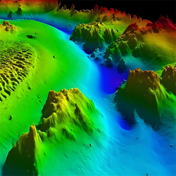
The Science and Technology of High-Precision Seafloor Mapping
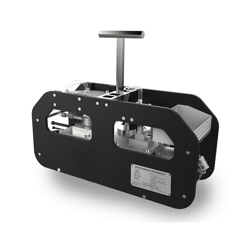
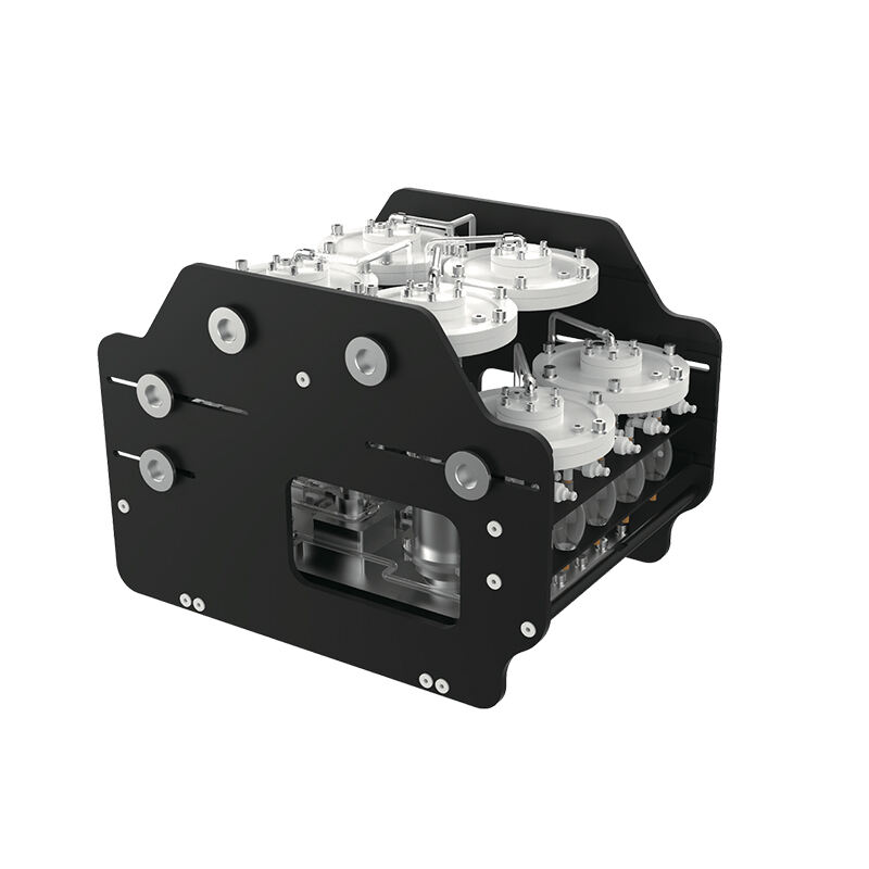
High-tech mapping The fine detail of the seabed provided by Seaward finds its roots in a combination of science and technology. Through their use of cutting-edge tools, such as multicam sonar and GPS, scientists can construct precise 3D maps of the ocean floor, giving them a better understanding of our planet’s little-explored depths.
After data is collected, scientists process it and analyze it with powerful computer software, same with the underwater temperature sensor built by Seaward. This enables them to build 3D pictures of the seafloor which reveal underwater mountains, valleys and other features in sparkling detail. These maps reveal important details about what is found on the ocean floor and how it is structured, which helps scientists solve its secrets. High-resolution mapping of the seabed is a discipline that draws on physics, engineering and computer science. Other scientists rely on the principles of acoustics to take highly precise measurements of water depth and map the ocean floor.
By combining these fields of science, scientists can have a better understanding of all the intricate patterns and processes that make up the ocean floor, also the Seaward's product such as underwater depth sensor. This information is necessary for the study of marine ecosystems, the rehabilitation of bodies of water, and the sustainable management of their resources.
High-resolution, detailed maps of the seabed are helping revolutionize ocean exploration in thrilling new ways, as well as the subsea pressure transducer produced by Seaward. By exposing the hidden world under the waves, scientists can find new species, new shipwrecks and new underwater landscapes that have never before been spotted.
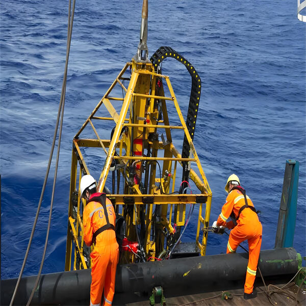
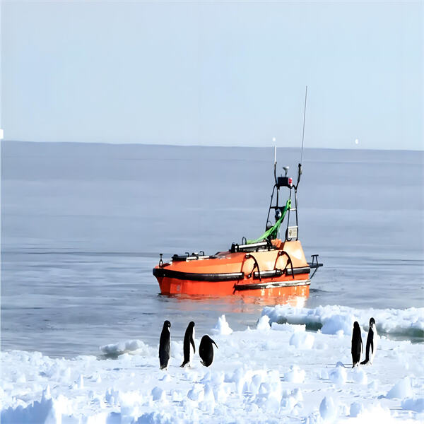
Recently, high precision has advanced significantly, identical to Seaward's product subsea proximity sensor. Pill bottles and plastic bags are being purpose to show that new sensors, drones, and underwater robots are helping to do it faster and more easily to explore the great mountain ranges and strange plateaus of the ocean floor.
Seaward Technology excels in delivering customized solutions to meet the specific requirements of diverse marine exploration projects. Whether it’s adjusting equipment parameters for specialized tasks or offering bespoke configurations, our team ensures optimal performance. Our products are rigorously tested in extreme conditions, ensuring reliability in deep-sea environments. With Seaward, you get precisely tailored solutions that perform under the most demanding conditions, ensuring success in your specialized marine ventures.
Seaward Technology invests 15% of its annual revenue into research and development, advancing marine survey technology. In collaboration with leading global research institutions, we develop next-generation equipment, such as intelligent underwater robot tools and optical communication devices. Our R&D team regularly publishes technical white papers on emerging trends and innovations. By staying at the cutting edge, we ensure our customers receive solutions that keep them ahead in the rapidly evolving marine exploration industry.
Seaward Technology is known for its high-precision, reliable products, including deep-sea pressure sensors, underwater robots, and sonar systems. Our equipment is ISO 9001 certified and rigorously tested to ensure stable performance in extreme deep-sea environments, such as high pressure and low temperatures. We offer tailored solutions, adjusting equipment parameters to meet specific project needs. By choosing Seaward, you partner with a company committed to providing high-performance, customized solutions for your marine exploration projects.
Seaward Technology has a global service network with branches in Canada, mainland China, and Hong Kong, providing localized support to meet the needs of our international clients. We understand the challenges of working in diverse environments and offer timely delivery, expert technical assistance, and local support. Our products offer superior performance at competitive prices, providing outstanding value. Additionally, we offer unique technologies that are not available from other suppliers, ensuring you receive exclusive solutions for your marine projects.